Satellite data
Our in-house satellite data processing helps us to update maps covering over 700 000 square kilometers each month.
I took Mappable’s website from the initial concept to the finished copy. I designed the site structure and wrote all the text, including the product and industry pages and blog posts.

A developer looking for a JavaScript API and an operations lead trying to improve deliveries have different starting points. I organized the site around both.

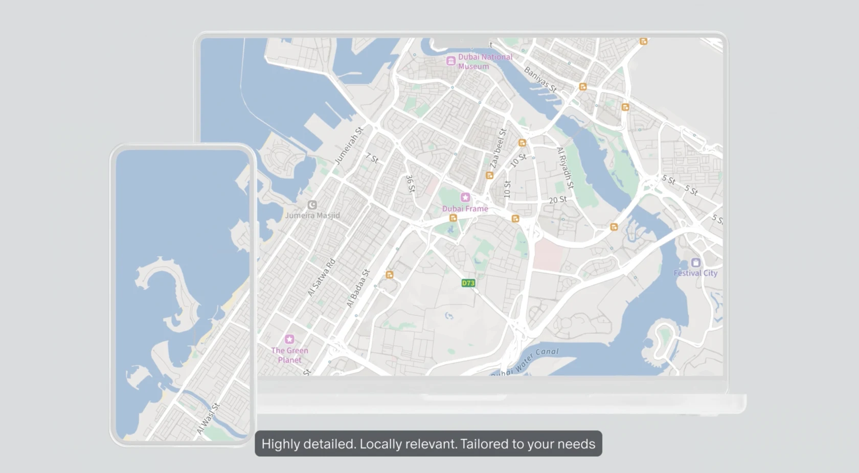
Boost your services and operations by leveraging powerful and customizable map products that are both locally relevant and accurate. Mappable goes beyond the major western urban hubs to provide granular data and extensive customization opportunities.
Contact us
Whether you need a highly customizable interactive map for rich user experience or a light-weight static map – Mappable got your back.
With our mapping solutions, your customers and employees will be able to easily determine delivery areas, find the right offices, stores or ATMs and will have instant access to additional information about them.
Our mapping solutions are used by major e-commerce, logistics and delivery companies, ride-tech and food-tech startups, telecommunications and banking corporations, as well as the public sector.
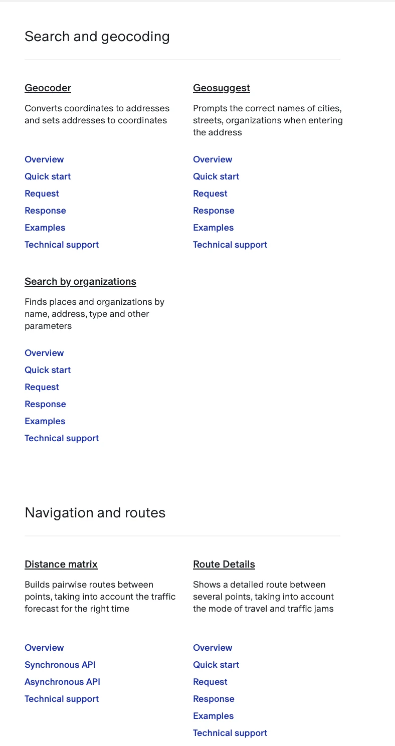
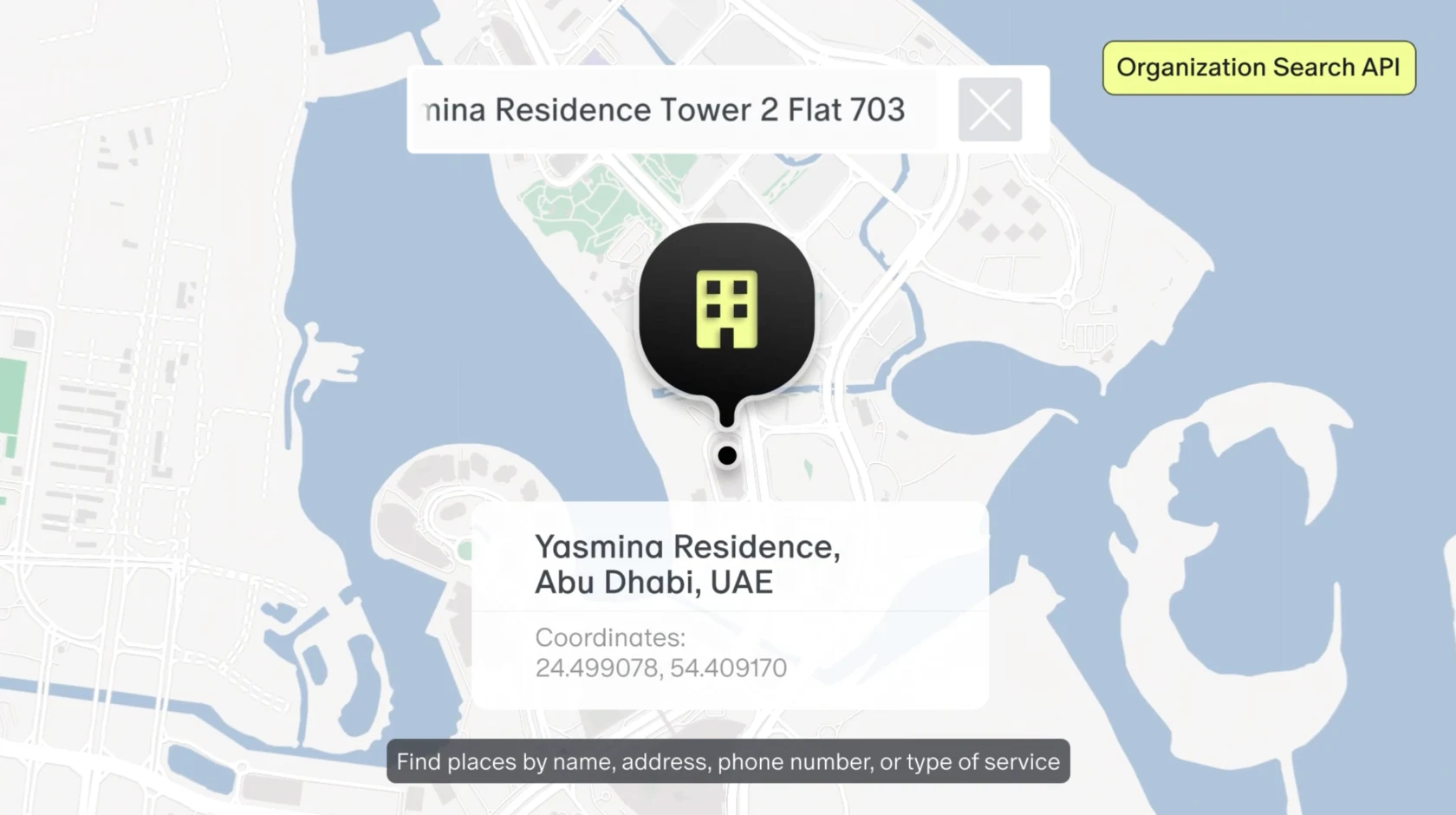
You can offer your customers an enhanced search experience with our Geosuggest that helps quickly and accurately enter addresses and organization names by offering suggestions as soon as one starts typing the first characters. Our Neurogeocoder and Organization Search will help you to define customers’ locations and enable them to search for places of interest by address, coordinates, opening hours, special offers and many more.
The Geosuggest is a real asset for marketplaces and online stores, delivery services, and government organizations, making it easier for users to enter addresses correctly. Our Neurogeocoder is at the heart of the day-to-day operations of successful ride-hailing and food-tech businesses, while Organization Search is used by major international banks to help customers search for branches and ATMs based on the facilities and services they require.
Mappable runs its own data platform where we both produce and process cartographic data. This allows us to adapt our solution to your needs in a quick and reliable way - and, therefore, to offer locally-relevant mapping and geospatial solutions.
Our in-house satellite data processing helps us to update maps covering over 700 000 square kilometers each month.
These images are collected by our users as well as specially-equipped vehicles.
Our specialists go around city districts and collect information difficult to obtain from images. For example, they will check organizations’ opening hours and building entrance locations, as well as the availability of passages through courtyards and parks.
They help us predict traffic conditions in real time.
Mappable implements computer vision and machine learning techniques to data-processing and employs a publicly available web editor for crowd-sourced сartographers to design and update their maps. After several iterations, their updates go live across all our products.
Choosing a mapping and geospatial solution provider can be a daunting task that requires trade-offs on budget and fulfilled requirements. That’s why we made Mappable - a highly customizable, responsive mapping and geospatial platform that provides businesses with locally relevant and up-to-date data at a competitive price.

Get high-quality, high-detail solutions at a fair price. Reach out to our team to discuss our pricing conditions in more detail.

Our APIs can be set up to exactly address your needs. You can brand your map, add details about your business, or track your delivery fleet. Mappable goes one step beyond and offers the opportunity to request data collection for a specific location. Our team will then improve the depth of data available for this specific location. This allows us to focus on the areas which matter the most to you.

We constantly update our maps to ensure an accurate representation of the real world. New businesses, roads, and interchanges go live on our maps as soon as they appear in the real world. All new data is instantly available to your business through our APIs.

We know that the majority of businesses thrive locally and require a deep understanding of regional specifics and data granularity at the local level. We are providing mapping solutions for food-tech, delivery services, ride-hailing, and other businesses in numerous countries across the GCC, Central Asia, North Africa, and Latin America region. Let your business excel with Mappable.
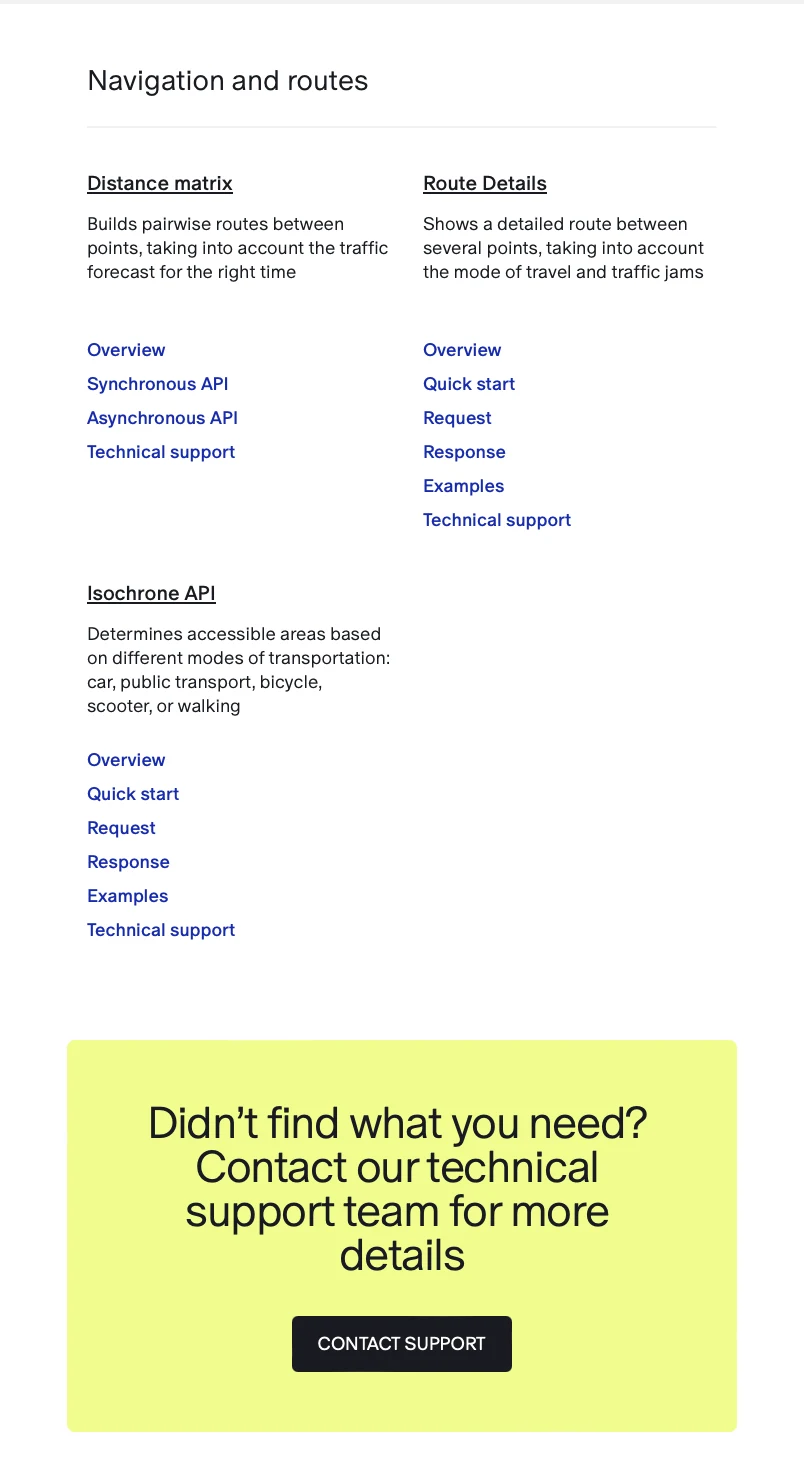
Learn more about a relevant solution for your business or reach out to our team to discuss your specific needs and opportunities. We are looking forward to hearing from you.
Select a solutionContact usProduct pages take readers from what the API does to who it helps, how it works, and where to use it.
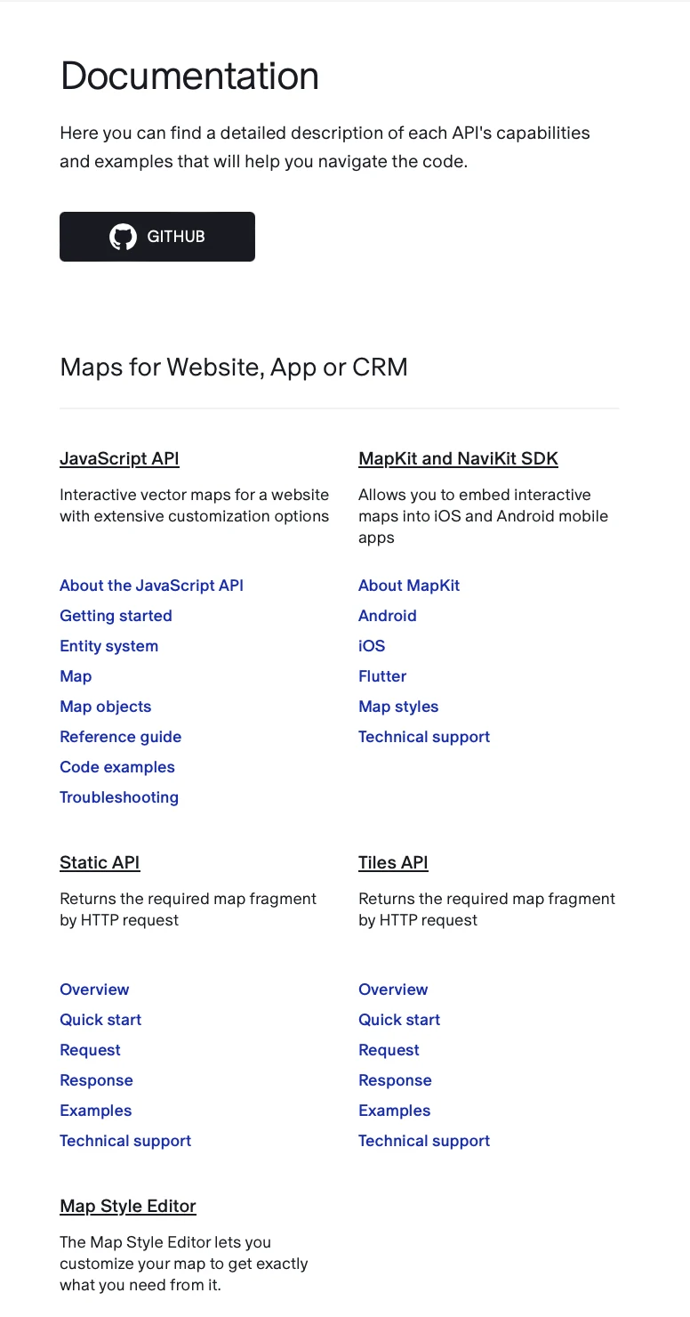
Customize static or interactive maps to your needs. Use our performative, customizable, and data-rich maps in your services and products.
Software library for embedding interactive maps into your website or web app.
Access to up-to-date cartographic data and street imagery. Fast-loading vector map with highly customizable design and user interface logic. Every feature runs identically on any type of device. Map data uploaded in GeoJSON format. Independent map layers for convenient differentiation between data types.
Show delivery zones, warehouses, stores, pick-up points, cellular coverage areas, ATMs, and other infrastructure to your customers and employees. Place your locations to better serve the needs of your business and customers. Provide an intuitive location search based on a range of parameters. Make your locations stand out on the map and hide the locations of your competitors.
Backward-compatible: write your code once, and it’ll run seamlessly with new JS API versions. Enhance the functionality by adding ready-made solutions from Mappable and other developers.
Our JavaScript API is used by banks, developers, online stores, and marketplaces to show their locations and give users directions.
For logistics, readers follow a delivery from address entry through planning and dispatch. For aggregators, the story starts with helping customers evaluate locations and find what they need.
Improve the quality of your delivery service and maximize the number of customers you are able to serve. Create new logistics solutions with Mappable technologies.
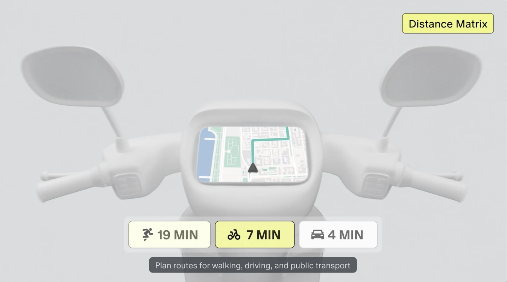
Simplify route planning for deliveries using Navigation and Routes API. Reduce logistical errors with address autocomplete.
The Suggest tool, part of the Neurogeocoder API, will help your customers and employees to enter data quickly and correctly on your website, CRM, or app, ensuring faster and error-free operations.
Make the delivery process seamless with precise turn-by-turn routes and proactive customer notification of shipment arrival. The latter will help prepare for unloading and reduce waiting time at each location.
Build convenient navigation and detailed turn-by-turn routes into your app. The driver will see which points to visit and in what sequence. And while driving, thanks to our technology, the driver will be able to receive in-app notifications about cameras, speed limits, obstacles, accidents, and repairs on the road. That way, you’ll make trips safer for both the driver and the cargo.
Get new customers by creating convenient, map-linked databases directly on your sites and applications.
Use our maps as a sales tool. By seeing your properties on a map, it will be easier for users to evaluate transport accessibility, availability of shops, parks and other desirable infrastructure that influence the decision of renting or buying. You can also add customizable filters for convenient browsing and searching.
With JavaScript API or MapKit SDK, you’ll get detailed interactive maps to display your infrastructure and visually set yourself apart from competitors.
Maps can serve as the foundation for any object database. For example, job search services can show the location of the employer and average salaries by area for each vacancy. Aggregators of beauty salons, cafes, and other organizations can add photos and information about their services and prices to the map. In general, the map can be updated with anything that will attract your customers. Convenient filters will help clients to find what they need among a variety of options, moving them faster to a deal.
I wrote for the blog as well as the main site. The blog had room to show how the technology worked, why an implementation decision mattered, and what developers could do with it.
The published index paired technical explainers with implementation stories. These are the original titles and credited bylines.
The API and website code mismatch is a common issue. It stems from different approaches to managing state and displaying components. Especially when it comes to complex APIs like our JavaScript API.
Developers often have to solve this problem on their own by writing extensive additional code. However, it’s not always the most effective way. The code becomes more and more complex, performance deteriorates, and response time increases. This can lead to user dissatisfaction.
To prevent it, we create wrappers for popular frameworks and libraries. Now, let’s take a look at how we did this, using the integration of the JavaScript API with React and Vue as an example. Later on, we plan to apply this approach to other popular frameworks such as Svelte, Angular, and SolidJS.
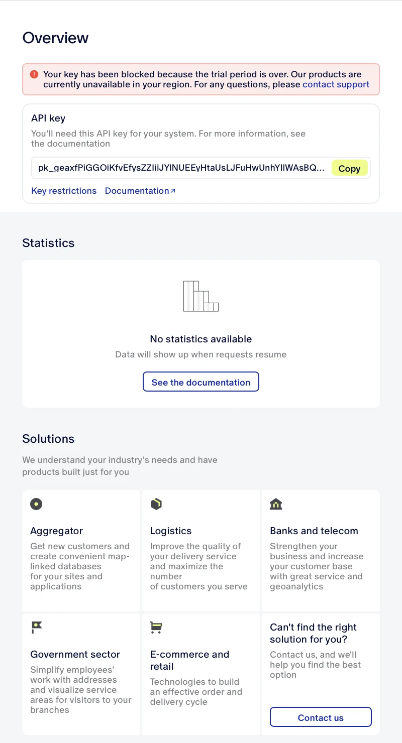
Created and optimized content for the developer dashboard of a mapping SaaS platform.